
First Officer's Log Days 20-22, Utah Expedition
This is the seventh in a series of posts about our recent trip to Utah
18.10.2015 Expedition Day 20
Today is a momentous day for this expedition. It marks the end of our eastward progression and the beginning of the return towards Puma Base. Rain occurred overnight. Although the quantity was limited, we were glad not to be in the structure other expeditions utilize. This structure is known locally as a tent.
We returned to our previous bivouac at the berg of Moab. After establishing our camp, we returned to the administrative park unit referred to as Arches. We were able to concentrate on the image tasking in the areas of “Park Avenue” and “The Organ”. The crew felt both areas were misnamed. We never really absorbed the name “Park Avenue”. It seemed that Wall Street was more appropriate: giant cliffs of red (ink? – Note check Crew financial planning on return.) We didn’t see the musical instrument in the Organ. Didn’t see any internal body parts either. We remain skeptical about the sobriety of the person in charge of naming conventions.
Evening sunset image tasking appeared to be a bust. We waited at the “Fiery Furnace” for sunset. However, a massive wall of gray, undifferentiated cloud rose up out of the west and squashed the hopes of either an interesting sunset or any interesting light. This makes two evenings in a row when sunset light was rated “poor”.
19.10.2015 Expedition Day 21
The crew was awakened to the sound of thunder, not far off, we didn’t have to wonder. Camp was quite noisy with the overhead storm and moderate rainfall. Again we were thankful the expedition was not in “tents” during the somewhat intense storm.
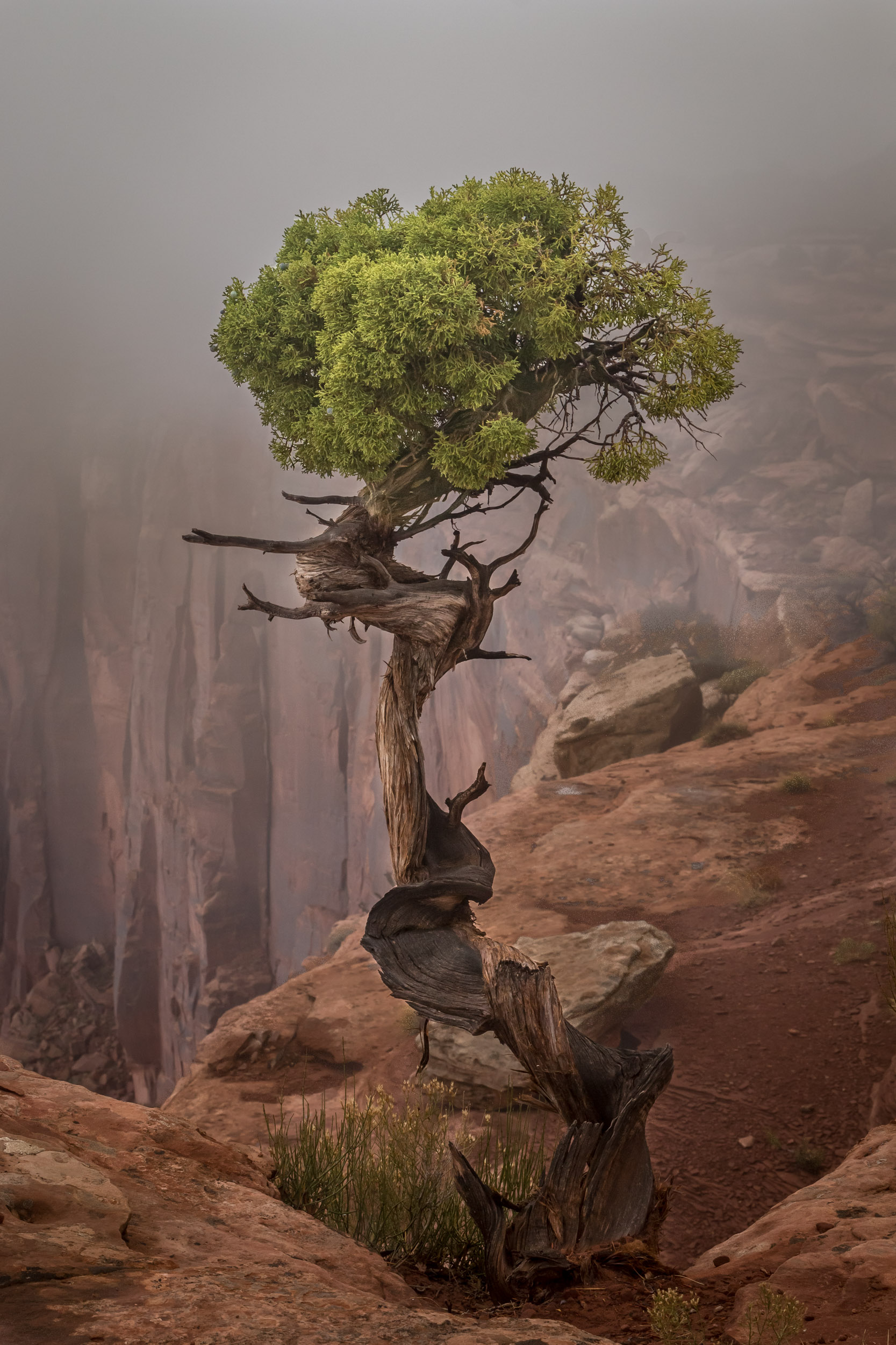
This was also a moving day. The crew moved to the west and increased elevation significantly by moving camp to the Dead Horse Point State Park. This park is relatively small but is adjacent to the Island in the Sky sub-unit of the Canyonlands park run by the National park organizational unit. There were multiple signs of the pre-dawn storm having been moderately strong with soil moved over the roadway and large pools of water. After camp was established the usual routine of local area recon ensued. Dead Horse Point has a very nice view of the Colorado River as it has downcut through the landscape just north of its confluence with the Green River. The vistas extend south towards the Needles area we had visited on day 14. The crew then reconned the adjacent Canyonlands unit. This unit has an excellent overlook of the Green River (which is brown) and a view of the area of the confluence of the Green and Colorado Rivers. Vistas in this unit are also spectacular. The crew returned to the camp at the park of the deceased equine.
20.10.2015 Expedition Day 22
Rain and thunder again interrupted the overnight rest period. The day began with a dawn image tasking at Dead Horse Point. A massive wall of gray, undifferentiated cloud rose up out of the east and squashed the hopes of either an interesting sunrise or any interesting light. The crew then shifted to the Canyonlands Park for additional imaging and to access some locations only available by foot. Increasing atmospheric instability and an approaching storm cell out of the south caused the crew to abort the plan to hike the “Upheaval Dome”. The crew diverted to the Green River Overlook and observed the massive storm cell as it approached. Lightning was observed within the cell and the lightning detecting trigger unit was deployed on the First Officer’s imaging equipment. Unfortunately the cell was extremely wet and most downstrikes were heavily shrouded within the rain shafts. Only one trigger event was observed and no successful captures made.
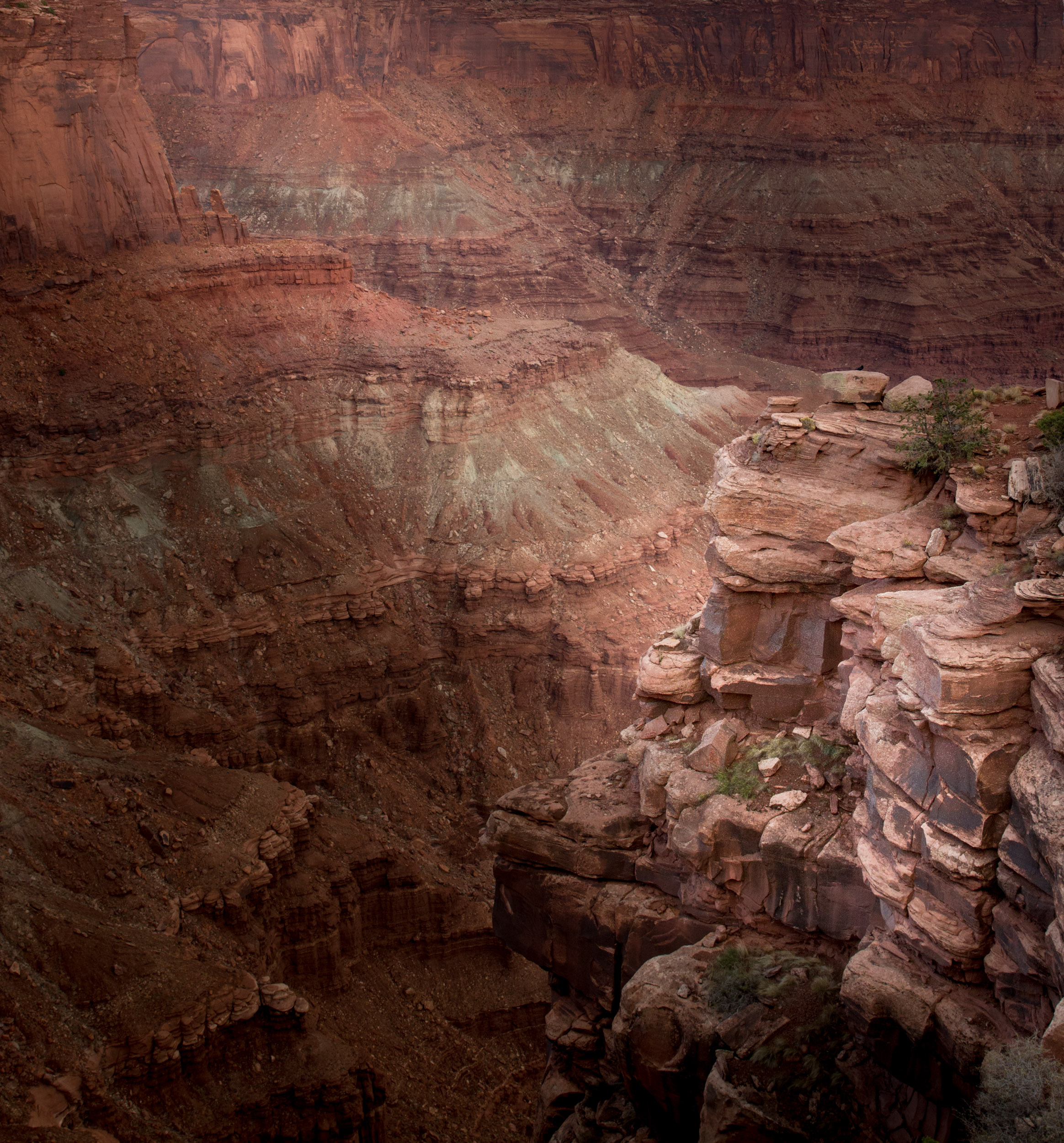
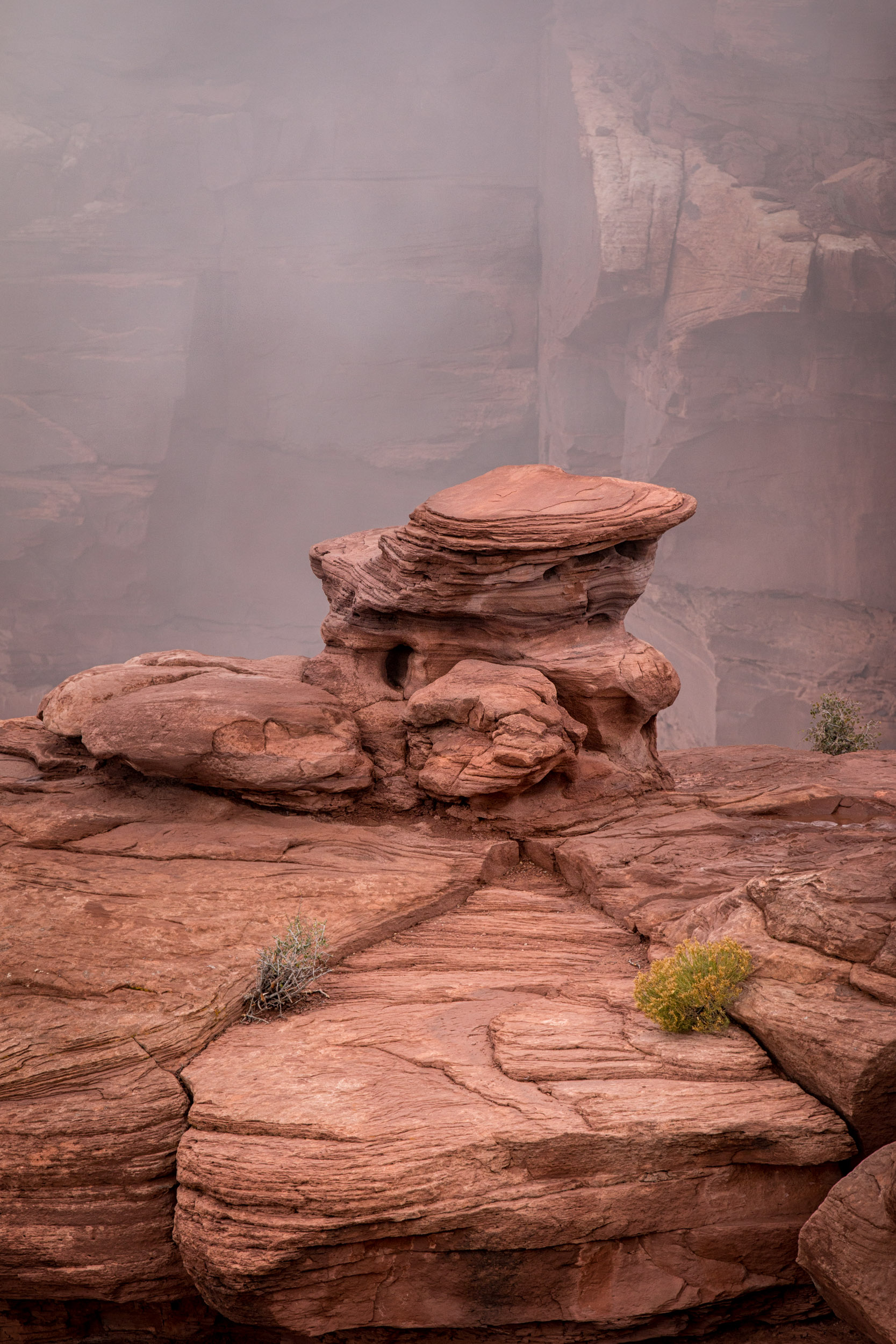
As heavy rainfall enveloped our observation area, the Crew made the decision to implement the Recon Gambit. This led the crew to circle around as much of the cell as possible and reestablish our observations on the south side of the cell at Grand View Point. This maneuver was somewhat successful in placing the Crew in a location as the storm cleared. Imaging equipment was again deployed. Results will be evaluated later. The Crew followed the storm north. Imaging equipment was deployed as sunset approached at “The Neck”. This is a very narrow portion of the mesa/cuesta where the Green River watershed cliffs are within a few meters of Colorado River watershed cliffs. Although the location is spectacular, light was heavily filtered by the remaining clouds from the storm cell. While returning to camp it was noted that frozen lumps of precipitation (locally known as hail) still lined the roadsides. Apparently, the storm became quite intense in the northern portions of this administrative unit. Again we were thankful our expedition was not in tents. Evening imaging was cancelled due to overcast skies.
Log transmission ends. Standby for future log segment...